Tokyo map poster — free & printable
Tokyo is the opposite of a planned city. Streets mostly have no names; addresses describe blocks rather than frontages, and the road pattern is an organic tangle that repeats at every scale. What organises the map instead is rail — above all the Yamanote line, which runs a rough loop around the centre and is the shape everyone in the city navigates by.
Japan · centred near 35.6895° N, 139.6917° E
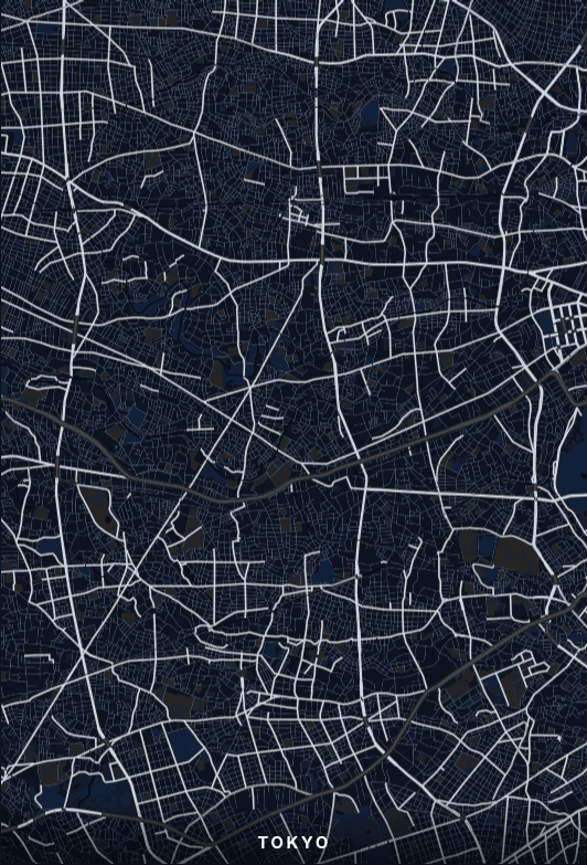
Frame the Yamanote loop, not the streets
Because the road network has no dominant geometry, a Tokyo poster cropped on streets alone reads as undifferentiated texture. The Yamanote loop solves this: it is a closed circuit roughly eight kilometres across, and every major district — Shibuya, Shinjuku, Ikebukuro, Ueno, Tokyo Station — sits on it. Centre the loop and the poster gains a structure the streets cannot supply on their own.
The Imperial Palace is the void at the centre
The palace grounds and their moats occupy a large irregular block in the middle of the city, and the moats render as water rather than park — a closed ring of it. It is the one large negative space in central Tokyo, and it sits just inside the Yamanote loop, so a crop that includes both gets a circle within a circle. That relationship is the strongest composition the city offers.
Two rivers and a bay
The Sumida runs south through the east of the city to Tokyo Bay, and the Arakawa runs roughly parallel further out. Pull the frame east and you pick up both, plus the reclaimed land and canals of the bayfront, which introduce straight engineered edges into an otherwise irregular map — a useful contrast if the street texture is starting to feel uniform.
Where to centre a Tokyo poster
- Shibuya
- Streets radiating from the station in every direction, with the valley topography pulling them off-axis.
- Shinjuku
- The densest rail interchange on earth; the track approaches dominate the frame.
- Ginza
- One of the few genuinely rectilinear pockets in the city, laid out after the 1872 fire.
- Asakusa
- Older fabric near the Sumida, with the temple grounds as a rare open block.
- Nakameguro
- The Meguro river curves through it, giving a crop that would otherwise be uniform a clear line.
- Yanaka
- Survived the war and the earthquake, so the lanes are finer-grained than anywhere nearby.
Why Indigo suits Tokyo
Indigo picks up the tradition of Japanese indigo dyeing, but it earns its place here for a practical reason: Tokyo's map is overwhelmingly texture, and a mid-tone blue ground stops that texture reading as noise. The rail lines and the palace moats separate cleanly from the road mesh. Midnight does the same job with more drama; Porcelain is the choice if you want the texture to feel light rather than dense.
Printing and framing Tokyo
Tokyo's detail is fine and uniform, so it rewards size — below A3 the street mesh starts to fill in as solid tone and the poster loses its character. A2 or 24 × 36" at 300 DPI is where it comes alive. Square suits the Yamanote loop better than portrait, because the loop is almost as wide as it is tall.
Every export is drawn at your chosen paper size rather than upscaled from a screenshot. See the full printing guide for sizes, DPI, bleed and crop marks.
Tokyo map poster questions
Why are there so few street names on my Tokyo map?
Most Tokyo streets genuinely have no name — the address system numbers blocks within districts rather than naming the roads between them. The map is rendering what exists. District, station and landmark labels do appear, and they are what a Tokyo poster labels itself by.
What is the best area to centre a Tokyo poster on?
The Imperial Palace, if you want a single clear focal point, or Shibuya if you want the radiating-street pattern the city is known for. Centring on the palace and zooming out slightly captures most of the Yamanote loop as well, which gives you both.
Can I make a poster of Greater Tokyo rather than the centre?
Yes, though be aware the metropolitan area extends far beyond the Yamanote loop and the texture becomes uniform at that scale. Around zoom 10 you will capture Yokohama and Chiba too. For most prints the loop and a margin around it is the stronger image.